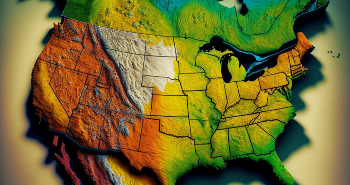
Geographic Information Systems (GIS) have become increasingly important tools in the field of international development. Whether you’re working on a project to improve health outcomes, support small-scale farmers, or protect natural resources, accurate and up-to-date maps can be invaluable. By visualizing data and analyzing spatial patterns, GIS can help organizations understand complex issues, identify opportunities, and design effective interventions. At OpenWise, we understand the value of GIS in development work and offer a range of services and solutions to support organizations in this area. Here are just a few ways that GIS can help advance development goals:
Spatial analysis:
One of the critical benefits of GIS is the ability to analyze data in a spatial context. By overlaying different layers of data, you can see how different factors – such as population density, access to resources, or environmental conditions – might be related to each other. This can help you identify trends and patterns and make more informed decisions about where to focus your efforts.
For example, suppose you’re working on a project to improve access to clean water in a rural area. In that case, GIS can help you identify areas with the greatest need and design interventions tailored to local conditions. Open-source GIS tools such as QGIS or GeoNode can be used for this analysis.
Data visualization:
GIS can also be a powerful tool for visualizing data in a way that is easy to understand and communicate. By using maps, charts, and other graphical elements, you can represent complex data in a way accessible to a wide range of audiences. This can be especially useful when you’re trying to raise awareness about an issue or working with partners with different levels of technical expertise.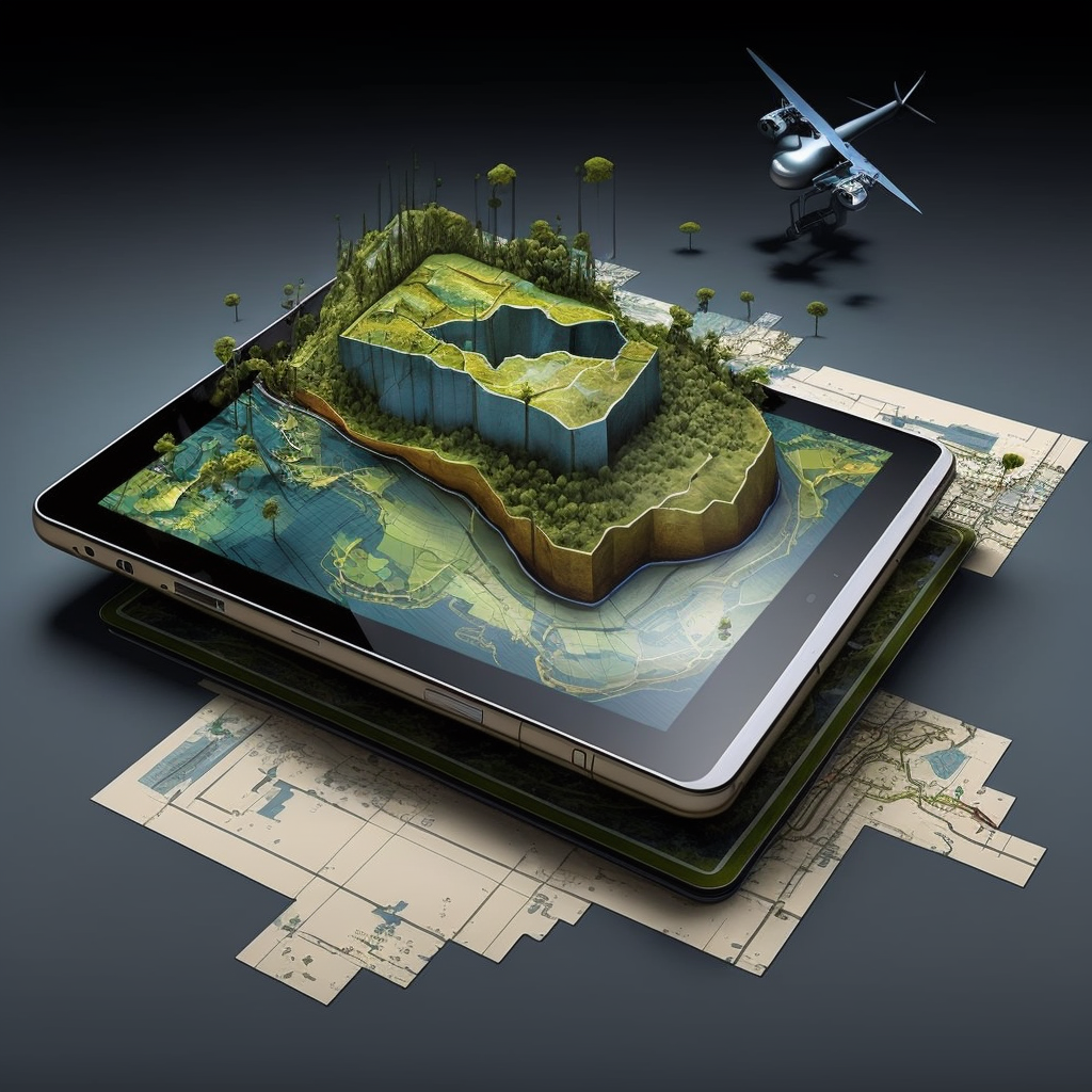
At OpenWise, we have experience in using GIS for data visualization, and we can help you design maps and graphics that effectively communicate your message. Open-source tools such as Carto or Mapbox can be used to create visually appealing maps and graphics.
Resource management:
GIS can also be used to manage and monitor resources, whether they are natural, financial, or human. Tracking data over time allows you to see how resources are used and identify areas where you might need adjustments or allocate additional resources.
For example, suppose you’re working on a project to support small-scale farmers. In that case, GIS can help you track the distribution of resources, such as seedlings or fertilizers, and ensure they are being used effectively. Open-source tools such as uMap or GeoServer can be used for resource management and monitoring.
Planning and decision-making:
GIS can also be used to support planning and decision-making processes by providing a common platform for analyzing and sharing information. Using GIS, you can combine data from different sources and create a shared understanding of a situation or issue. This can help you identify the most effective action and align your efforts with your broader development goals. Open-source tools such as OpenStreetMap or OpenLayers can be used for planning and decision-making processes.
Collaboration and communication:
Finally, GIS can facilitate collaboration and communication between different stakeholders by providing a common language and platform for sharing information. Whether you’re working with local communities, governments, or international organizations, GIS can help you share data and ideas and build stronger partnerships. Open-source tools such as GeoGit or geOrchestra can be used for collaboration and communication.
Conclusion:
As you can see, GIS can be a powerful tool for advancing development goals. Whether you’re working on a project to improve health outcomes, support small-scale farmers, or protect natural resources, accurate and up-to-date maps can be invaluable. At OpenWise, we are committed to supporting organizations that are working to make a positive impact in the world, and we offer a range of services and solutions to help you achieve your goals. Contact us today to learn more about how we can support your work in using GIS for development.
You must be logged in to post a comment.